

Aerial patrol
Covers a wide area quickly from the air, filling blind spots in the ground view.
Add drones, robot dogs and other unmanned equipment to existing models to form a coordinated patrol capability and extend coverage.
On top of the existing product matrix, drones, robot dogs and other unmanned equipment can be added, combining the aerial view and fast coverage of drones with the obstacle-crossing and close-range inspection of robot dogs. Multi-device coordination extends patrol coverage and improves performance in complex environments for customers who need three-dimensional, intelligent inspection.
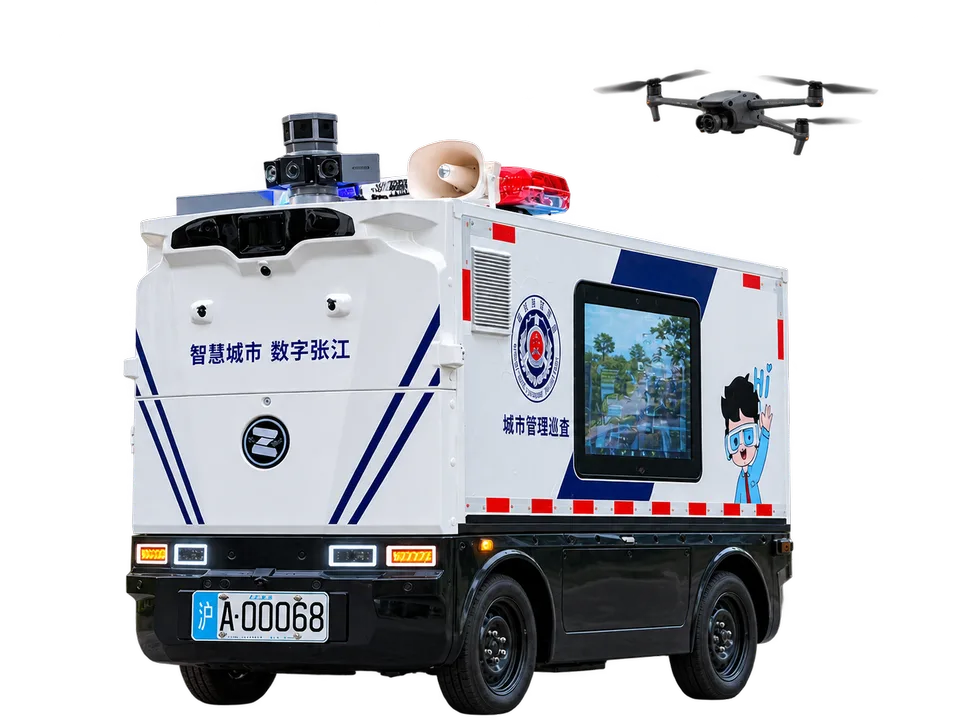
Covers a wide area quickly from the air, filling blind spots in the ground view.
Works with ground patrol vehicles to link detection and response.
Dispatched by a unified platform and sharing one business workflow with ground vehicles.
A multi-sensor fusion perception system that recognizes difficult obstacles and operates reliably in complex environments.
Real-time perception and decision-making on the vehicle, nearby compute at the edge, and centralized scheduling and data feedback in the cloud.
Real-time remote control from a mobile app, for intervention and dispatch at any time.
For detailed specifications, lead times and pricing, please contact the Marketing & Business Development Department.
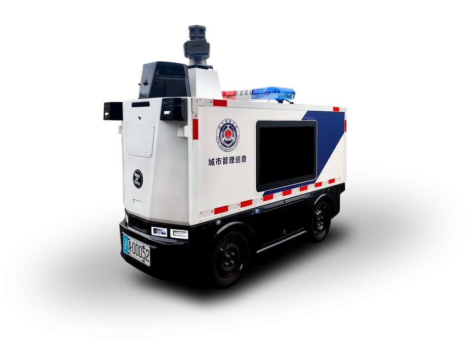
For urban management and road-maintenance departments: 17+ categories of urban-governance events, with a closed loop from dispatch and patrol to review and disposal.
View details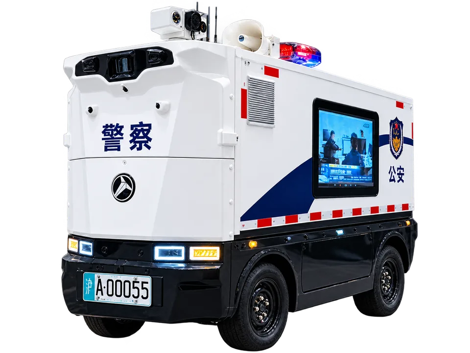
For traffic management departments: 5+ scenarios such as illegal parking, e-bike riders without helmets and red-light running, with 95%+ accuracy (up to 99%+ on the upgraded model).
View details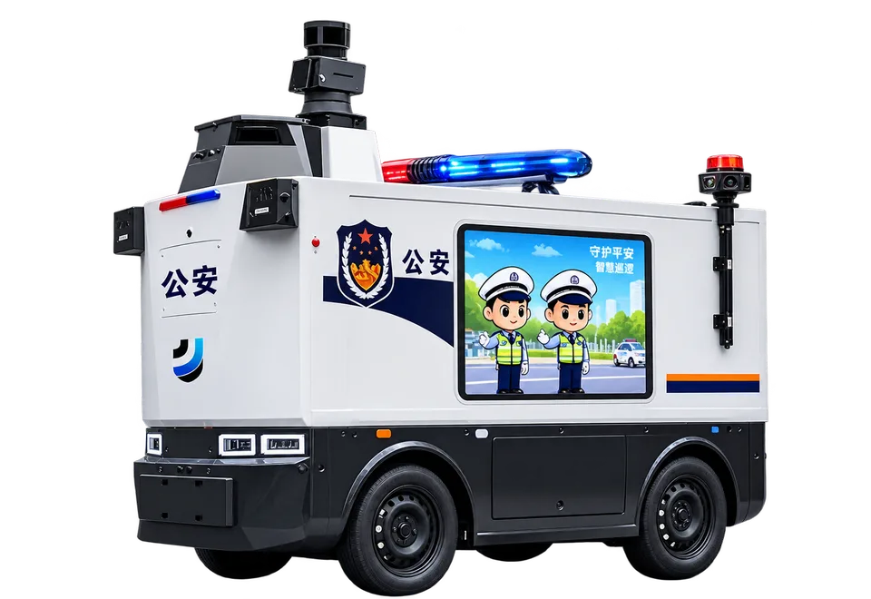
For public security operations: 4+ scenarios such as crowd gathering, fighting, fall alerts, banner displays and weapon carrying, connected to the police intranet over a dedicated network.
View detailsLeave your contact details and our Marketing & Business Development Department will get back to you within one business day.